Drone Survey & Inspection
High-resolution aerial imaging and mapping delivered through a documentation-first workflow — inspection-informed, cloud-based, and accessible when your team needs it.
DRONE SURVEY & INSPECTION SERVICES
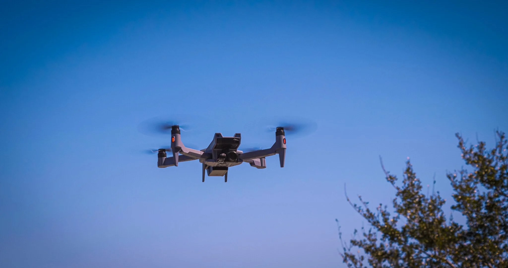
AEROVIS COMBINES HIGH-RESOLUTION AERIAL IMAGING, MAPPING, AND INSPECTION-INFORMED DOCUMENTATION TO GIVE CLIENTS CLEARER, CLOUD-BASED RECORDS THEY CAN REVIEW, SHARE, AND ACT ON.
Track site conditions, earthwork, and project progress with high-resolution aerial mapping and cloud-based documentation your team can access from anywhere.
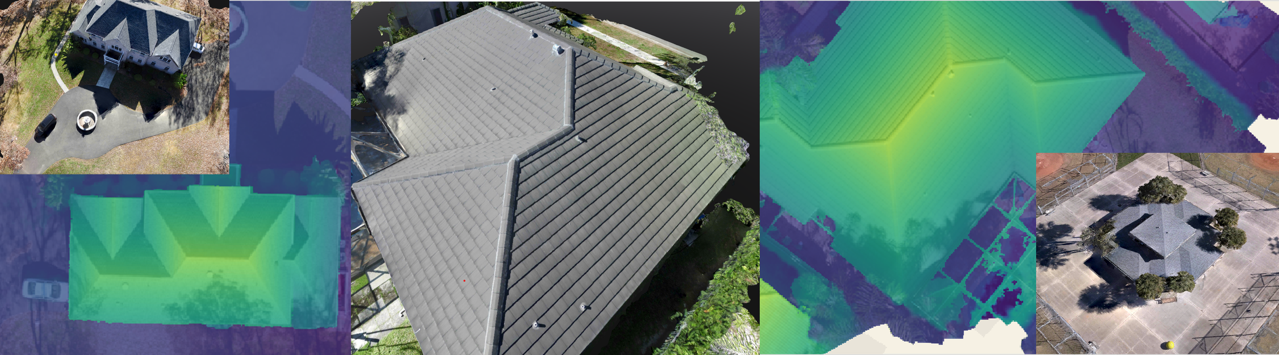
Get inspection-informed roof documentation without stepping onto the structure. AeroVis combines high-resolution aerial imaging, home-inspection perspective, and thermography capability to help identify visible defects, moisture-related concerns, and heat anomalies while producing cloud-based records your team can review, share, and act on.
Use RGB and thermography capability to identify visible defects, heat anomalies, and panel-level concerns across solar assets with organized aerial documentation that is easy to review and share.
When documentation matters, AeroVis delivers high-resolution aerial records that are timestamped, cloud-based, and built to support insurance documentation, damage assessment, and stakeholder communication.
EXPERTISE
AeroVis brings a documentation mindset informed by aerial operations, home inspection, and thermography capability for clients who need more than generic drone capture.
PRECISION
High-resolution imaging, mapping, and structured deliverables turn each survey into a clearer record of conditions, progress, and visible concerns.
ACCESSIBILITY
Cloud-based delivery keeps imagery, maps, and documentation organized, accessible, and easy to share across teams and stakeholders.
Need Clear Aerial Documentation?
If you need inspection-informed drone survey and inspection services for a property, project, roof, solar asset, or damage assessment, AeroVis is ready to help.