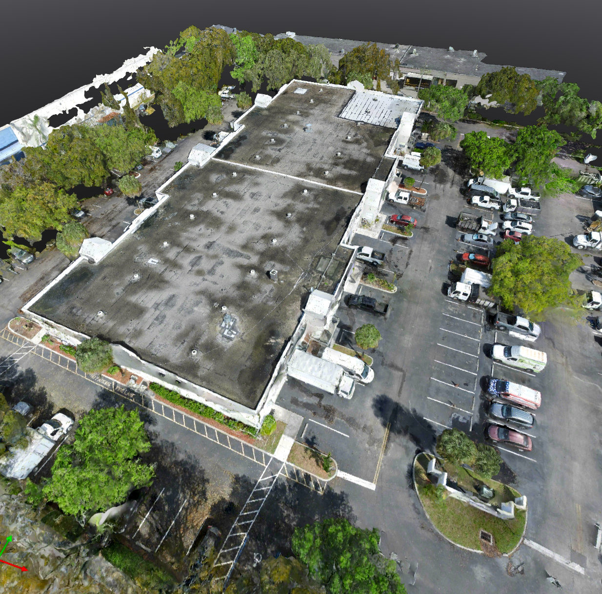
Construction & Site Surveys
Most phase decisions are made with incomplete data.
Yours don't have to be.
What Sets Us Apart

Military aviation background — mission planning isn't a checklist, it's how we think
We scope to the problem, not the drone — most operators show up and fly. AeroVis starts with what you actually need
Same-day delivery — data in your portal before the next phase begins
Every scan builds on the last — your complete project history, not just a one-time flight
Preferred Provider Agreements — consistent crews, priority scheduling, volume pricing for ongoing clients
We deliver intelligence, not just imagery — processed, georeferenced data your team can actually act on
Every construction decision is a terrain decision. Cut too much, fill too little, miss a phase milestone — and the project pays for it. Most drone operators hand you imagery and call it done. Few understand what it actually takes to document a job site from groundbreak to completion.
We start with a scope call to understand your project — the site, the phase, and the data your team actually needs. Then we fly, process, and deliver. Every deployment is planned to aviation standards and executed the same way every time, whether it's your first scan or your fifteenth.
Accurate volumetrics, elevation models, and progress documentation delivered to your cloud portal. Your complete project history in one place — phase by phase, from groundbreak to completion. Shareable with your whole team the same day it's flown.
Ready to Get Started?
Every project is scoped individually. Book a free 20-minute call and we'll have a proposal back to you the same day.